Northern Adventure Map Series

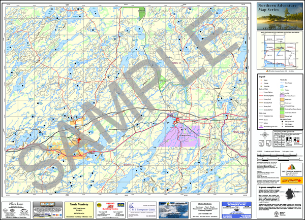
The Northern Adventure Map Series™ consists of 42 maps covering Northern Ontario from the east shore of Lake Nipigon to the Quebec border. This map series was created by GEOMA in response to public demand for up-to-date maps of the area. The maps feature data such as roads, lakes, wetlands, rivers and utility lines, as well as Wildlife Management Units, parks, resort locations, snowmobile trails, and the fish species present in each lake. Data was acquired through GEOMA’s data licence with the Ontario Ministry of Natural Resources (MNR).
The Northern Adventure Maps are available in stores throughout Northern Ontario. These maps are printed on high quality paper with water-resistant inks to produce a superior quality map.

Map Titles in the Northern Adventure Map Series
GEOMA has expanded the map series east to the Quebec border
Looking for maps of a Wildlife Management Unit?
Click HERE to View a map showing Northern Adventure Maps and WMU's.
Features
Specifications:1:100,000 scale |
Where to BuyClick on a town to find Northern Adventure Maps Series retailers:
Northern Adventure Maps |


