Forest Fire Mapping and GPS

|
|
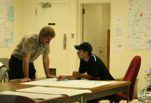
GEOMA is the lead contractor to the Ontario Ministry of Natural Resources (MNR) supplying forest fire mapping services across Ontario. Mapping units are provided to the MNR during escalated fire situations. GEOMA supplies the MNR with three full mapping units, each consisting of a qualified GIS technician equipped with a 42” plotter, 13” x 19” printer, a high end GPS unit, a computer and all supplies necessary to carry out mapping and GPS services for extended periods of time. GEOMA uses the most up-to-date versions of ESRI’s ArcGIS Software.
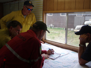
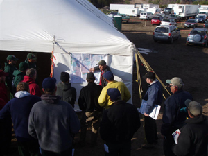
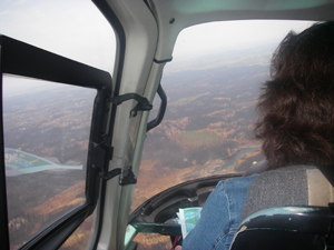
Our mapping technicians work for extended periods of time in various environments such as tents, trailers, forward attack bases or at MNR Forest Fire Management Centers. Data transfer to and from GPS units and data collection using highly accurate Trimble GPS units are provided to the MNR’s fire staff giving them the most current, updated information from the field. Fire mapping technicians are responsible for creating maps such as fire perimeter, progression, suppression, values maps, as well as several other maps.
Map products, information updates and data collection are completed under tight time constraints and are required to be very accurate since the products produced are often used for information planning, involving ground and aviation attack purposes. Our mapping technicians’ knowledge, creativity and troubleshooting skills always meet or exceed the MNR’s mapping needs.
