Mining GIS

|
|
GEOMA, as part of the Greenstone Mineral Development Initiative, has developed a central repository for available mining information that will allow interested residents, prospectors and mineral exploration companies access to all GIS data and historic documentation of mining and exploration activity in the area.
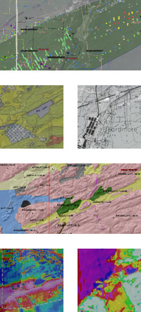
Mining and exploration data currently exists in many formats and locations on the web. Through the GMDI project, Geoma has collected this data into a framework where it can all be viewed together in any web map or earth browser (such as Google Earth). This eliminates the need for users to have GIS software to view the data. Instead, it utilizes the functionality of existing applications that can be obtained and used free of charge by all users. The project has created a universally available single point of access to mining information on the internet.
Users have the ability to turn layers on and off, pan around and zoom in/out easily and quickly, and since it was built to leverage applications like Google Earth all the data viewed can be overlaid on satellite imagery. Table data is also available by clicking on any of the point features included in any of the maps. Some tables contain links to live documents on the web that provide detailed and historical information about the mining or exploration feature.
Visit the GMDI Website and start viewing mining and exploration data in your area now!


